Geospatial
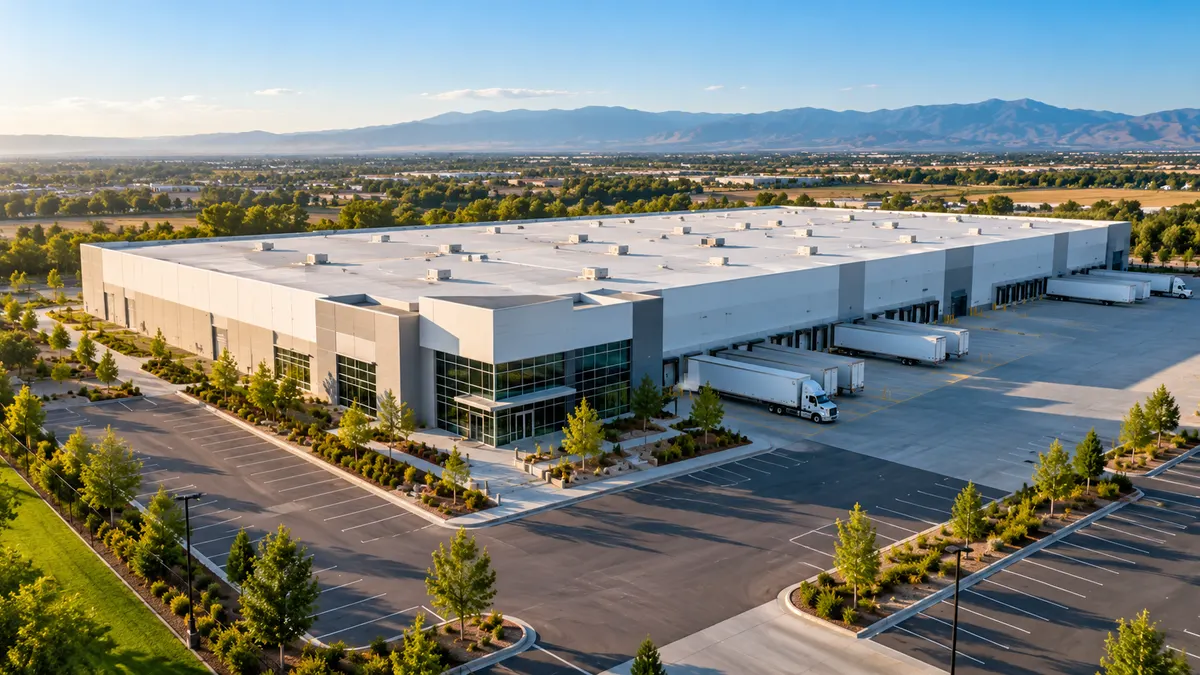
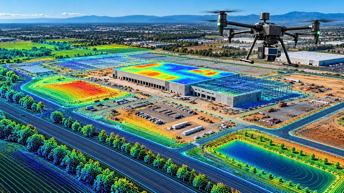
Commercial drone imagery, mapping and thermal inspection for construction, property, roofing, solar, agriculture and industrial sites. Contracted pilots operating under FAA Part 107 fly each mission; processing, quality checks and reporting are handled centrally.
- Construction progress records
- Property and roof inspections
- RTK mapping and 3D models
- Radiometric thermal inspection
- Solar, agricultural and industrial sites
- Recurring, dated site documentation