Agriculture & Farms
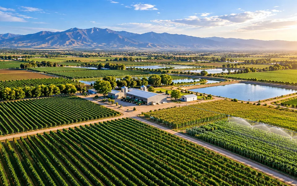
Field mapping, crop imagery and irrigation infrastructure documentation.
Explore serviceRepeatable seasonal flights document field conditions, irrigation infrastructure and crop status across the growing season.
These services are the usual starting point:
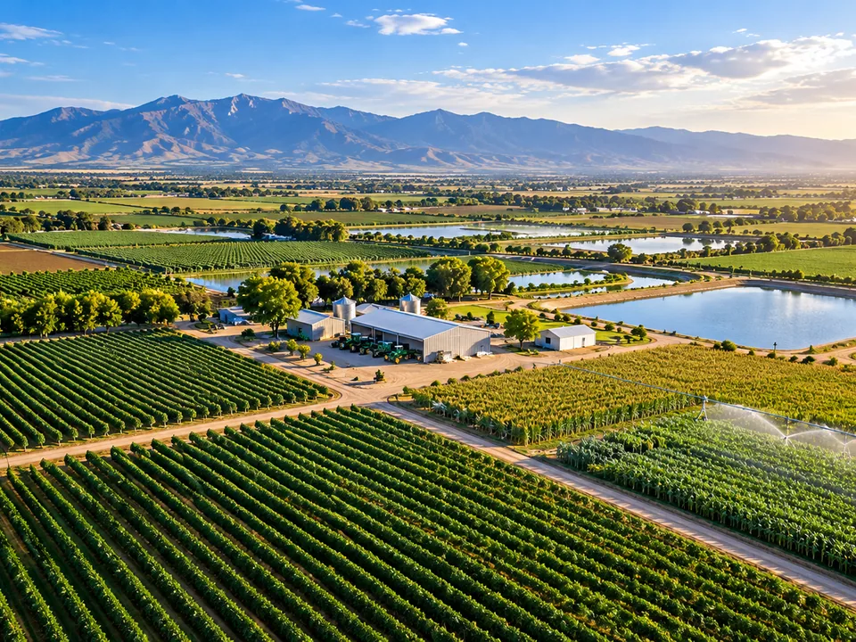
Field mapping, crop imagery and irrigation infrastructure documentation.
Explore serviceGeoreferenced orthomosaics, terrain surfaces and 3D context for complex assets.
Explore serviceTell us what you need to document, measure or monitor.