Construction & Progress Management
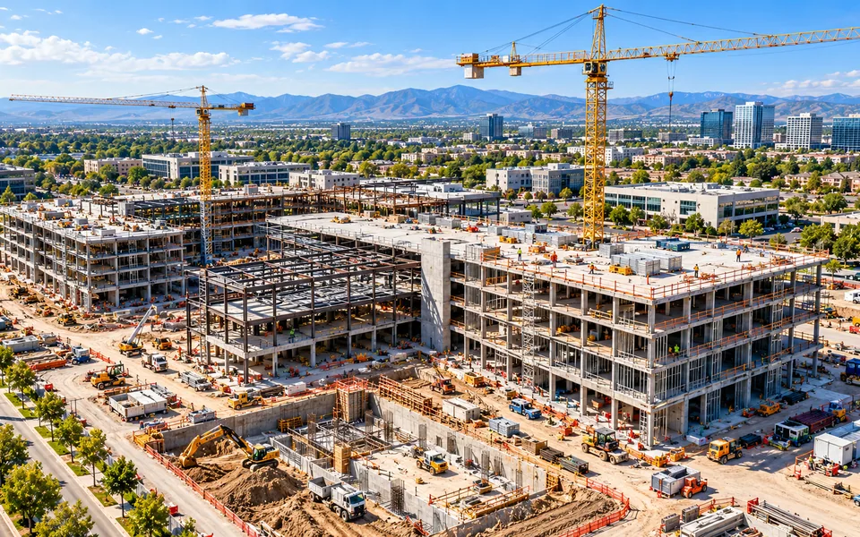
Dated aerial records of site progress, with mapping and earthwork volumes for milestone reviews.
Explore serviceScheduled aerial capture, RTK mapping and volumetric measurement keep construction and development teams working from one current, verifiable site picture.
These services are the usual starting point:
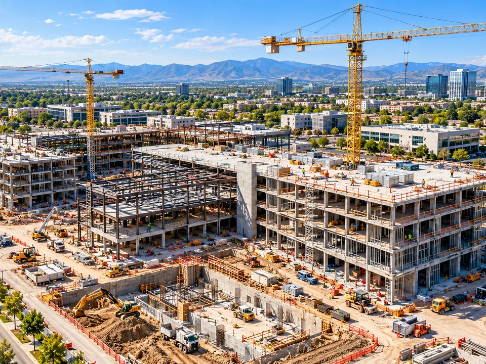
Dated aerial records of site progress, with mapping and earthwork volumes for milestone reviews.
Explore serviceGeoreferenced orthomosaics, terrain surfaces and 3D context for complex assets.
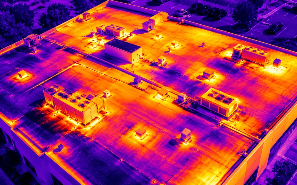
Explore serviceThermal screening of roofs, solar arrays and industrial assets, with each anomaly located and documented.
Explore serviceTell us what you need to document, measure or monitor.