Construction & Progress Management
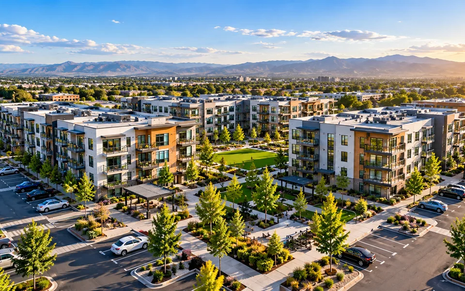
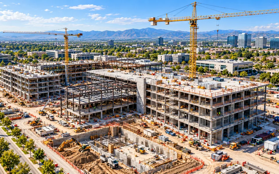
Dated aerial records of site progress, with mapping and earthwork volumes for milestone reviews.
Explore serviceField capture, change documentation and geospatial reporting for commercial sites, from construction through operations.
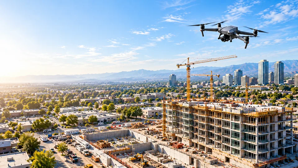
Dated aerial records of site progress, with mapping and earthwork volumes for milestone reviews.
Explore serviceConsistent weekly aerial evidence across commercial property portfolios.
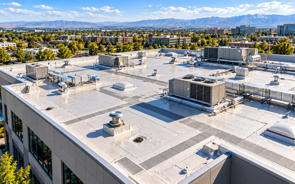
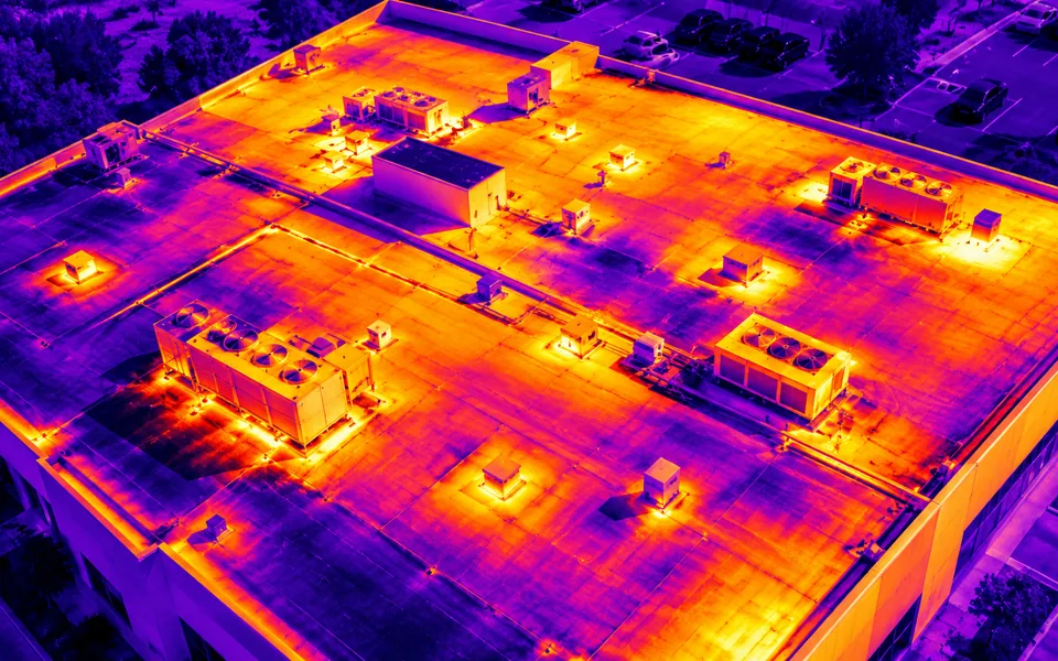
Explore serviceRepeatable high-resolution roof surveys, thermal screening and condition documentation.
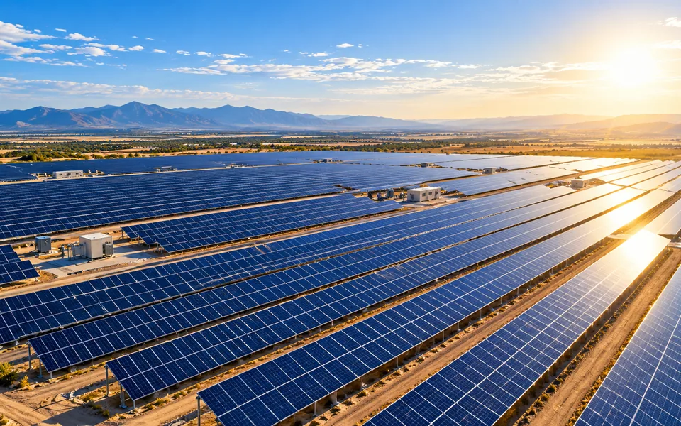
Explore serviceVisual and radiometric thermal imaging for solar installations and supporting infrastructure.
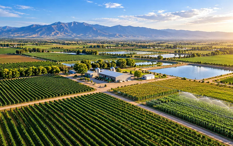
Explore serviceField mapping, crop imagery and irrigation infrastructure documentation.
Explore serviceGeoreferenced orthomosaics, terrain surfaces and 3D context for complex assets.
Explore serviceThermal screening of roofs, solar arrays and industrial assets, with each anomaly located and documented.
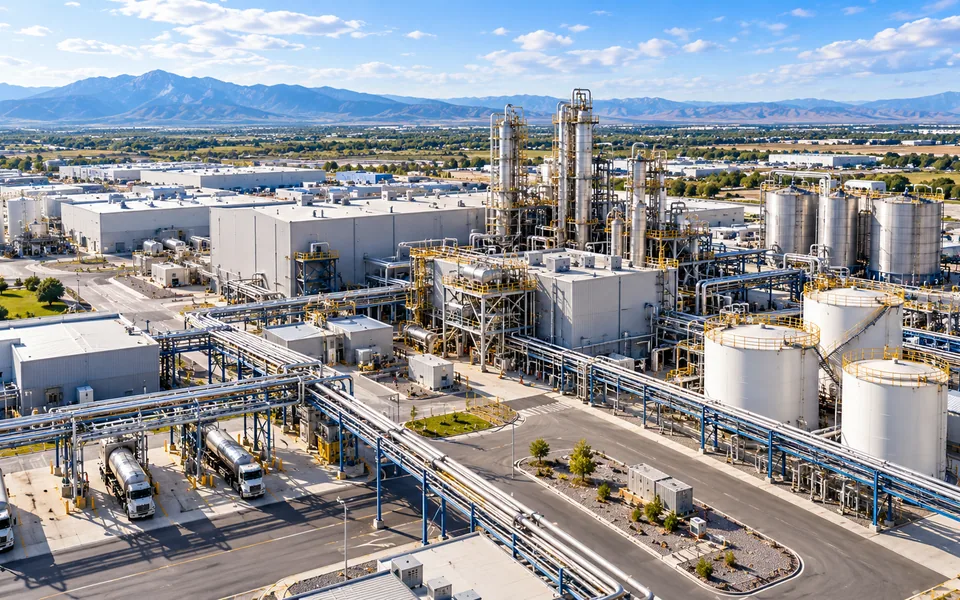
Explore serviceDocument industrial sites, hard-to-access assets, yards and equipment.
Explore serviceTell us what you need to document, measure or monitor.