Precision, Quality & Limits
RTK-supported mapping is not a licensed land survey. We document expected quality and known limitations for each assignment.
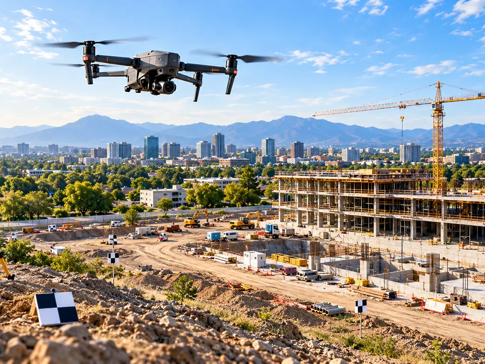
RTK-supported capture improves the positional accuracy of imagery and derived products, but it is not a substitute for a licensed land survey. Regulated survey deliverables require an appropriately licensed surveying professional.
Every assignment documents the expected accuracy, ground-control approach (where used) and known limitations of the capture conditions, so your team knows what the data does and does not support.
Radiometric thermal captures are presented as a screening tool. Anomalies are flagged for follow-up by a qualified trade or engineer rather than reported as a confirmed diagnosis.
Start with a project scope.
Tell us what you need to document, measure or monitor.